Eliminate the guesswork of hiring drone pilots and get high-quality aerial imagery fast. Our FAA-licensed pilots deliver custom packages for real estate photography, construction monitoring, and more—streamlined through our simple job request process.
Acquiring aerial data has never been easier. With custom packages tailored to your industry, our streamlined job request process connects you to vetted, FAA-licensed drone pilots who deliver fast, reliable results—all backed by strict quality assurance.
Create a job in minutes with our tailored aerial data packages.
Vetted, insured, and FAA-licensed professionals ready to serve you.
Get notified of completion times and receive data quickly.
All data passes strict QA checks—or it’s re-flown free of charge.
From job request to data delivery, our process ensures you get high-quality aerial imagery quickly and easily. All data is hosted on our platform for seamless viewing and downloading.
Choose your industry and select a custom package tailored to your needs. Provide details about your project, and we’ll handle the rest.
Your request is instantly sent to our network of FAA-licensed pilots. Pilots in your area are notified and can accept the job.
Once a pilot accepts, you’ll be notified of the expected completion time. The pilot coordinates with you if needed and plans the flight.
The pilot captures high-quality aerial imagery and data, which undergoes strict QA checks to ensure it meets our standards.
Once approved, the data is uploaded to our secure platform. Easily view, download, and share your aerial imagery from any device.
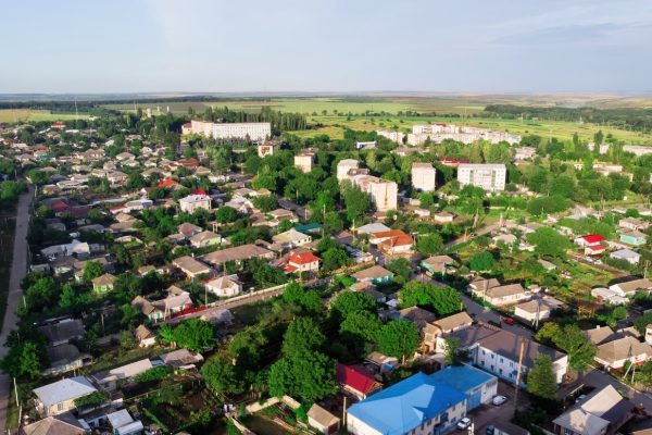
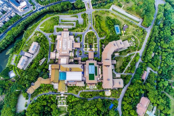
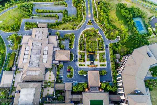
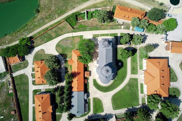
Attract buyers and close deals faster with breathtaking aerial photos and videos. Our FAA-licensed pilots deliver high-quality imagery for property listings, virtual tours, and neighborhood overviews. Once captured, your imagery is hosted on our platform, making it easy to view, download, and share with clients.
Stay on top of your projects with regular aerial updates. Our drone services deliver high-resolution imagery and 3D mapping to:
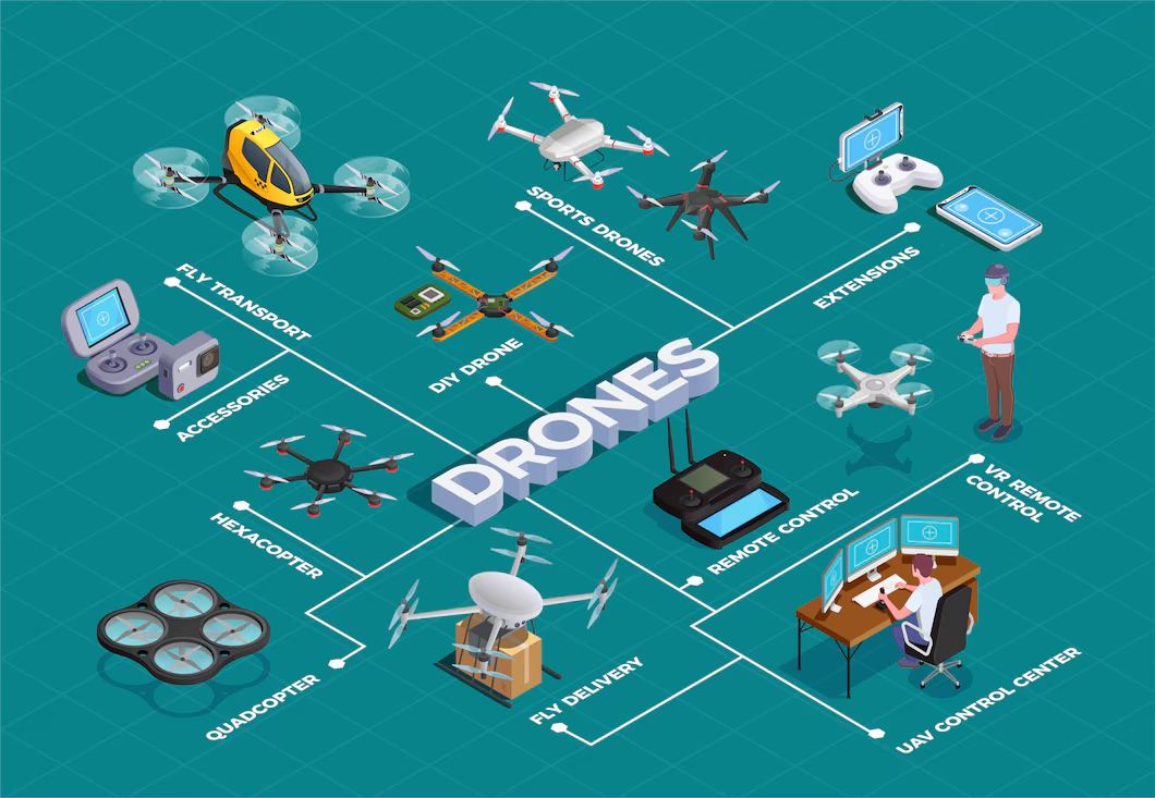
Join our elite network of FAA-licensed drone pilots or hire one for your next project. Vetted and experienced, our pilots deliver high-quality aerial imagery for real estate, construction, and beyond—broadcasted instantly to ensure fast service.
Every pilot meets rigorous certification standards.
Skilled in real estate photography, surveys, and more.
Pilots available across the country for quick deployment.
Fast job acceptance and completion notifications.
National Drone Services simplifies hiring drone pilots and acquiring aerial data with custom solutions for real estate, construction, and more. All data is hosted on our platform for easy access and sharing.